Indiana Travel Advisory Map: How to Use It
Why the Indiana Travel Advisory Map Matters
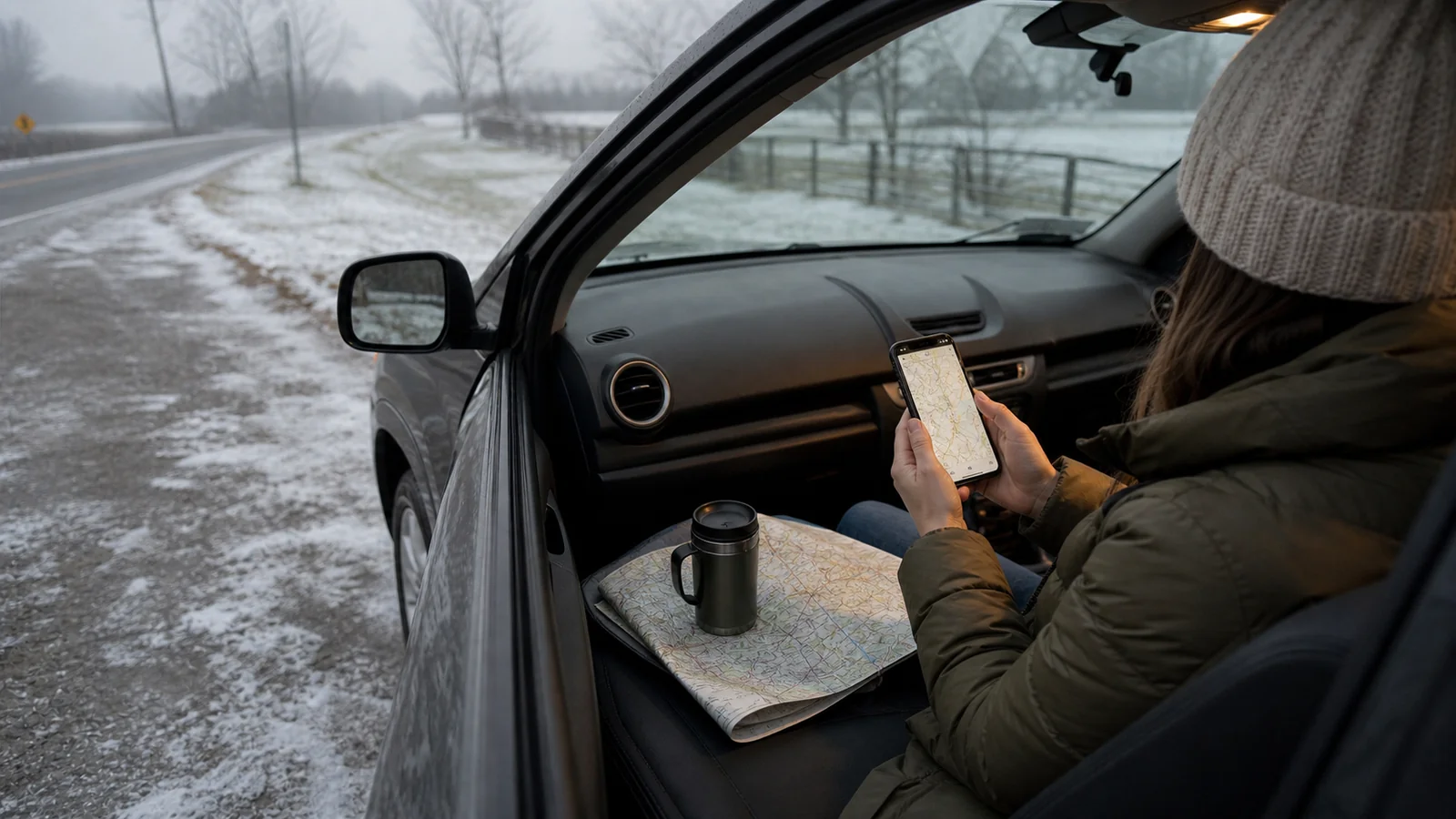
The Indiana travel advisory map is useful when a loose road trip crosses more than one county. A city may look easy to reach on a normal map, but snow, ice, flooding, fog, or local emergency conditions can change the feel of the drive quickly.
For slow travelers, the map is not just a safety tool. It is a pacing tool. It helps you decide whether to leave early, wait for daylight, shorten a route, stay another night, or choose a walkable neighborhood once you arrive instead of chasing a second stop.
The key is to treat the map as one signal among several. Check the county status, then compare it with weather forecasts, road conditions, hotel cancellation rules, and how much daylight you have left.
What the Indiana Travel Advisory Map Shows
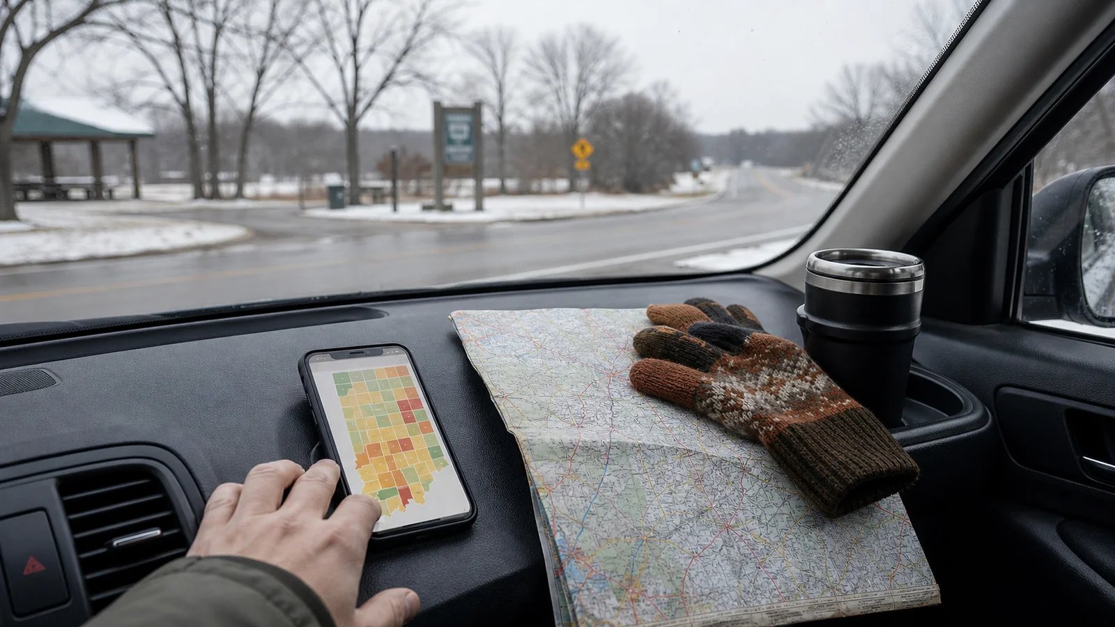
Indiana’s county travel status map is managed through state emergency management channels and local county updates. It shows county-level travel conditions, not a personalized route forecast. That distinction matters.
A county status can tell you that officials see a travel concern in that area. It does not tell you whether one specific street is clear, whether a rural road has drifted snow, or whether your rental car is a good choice for the conditions.
Most travelers use the map for three questions:
| Question | What to look for | What to do next |
|---|---|---|
| Is my destination affected? | County status where you will sleep or spend the day | Decide whether to keep, delay, or simplify plans |
| Is my route affected? | Counties between your current point and destination | Check road conditions and weather along the drive |
| Is the situation changing? | Updates near departure time, not only the night before | Recheck before leaving and again before long rural stretches |
If you are visiting Indianapolis, Bloomington, South Bend, Fort Wayne, Lafayette, Evansville, or a smaller town, check both the destination county and the counties you will pass through. A calm downtown plan can still be disrupted by the drive in.
Know the Advisory, Watch, and Warning Levels
Indiana counties use travel status levels that are meant to help residents and visitors understand local conditions. Wording can vary slightly by official page, so read the current map legend before acting on it.
In general, an advisory is the lowest travel status. It usually means routine travel may be affected by hazardous conditions. A watch is more serious and suggests that conditions are threatening enough that only necessary travel may be wise. A warning is the strongest level and can mean travel is restricted to emergency management workers and other essential travel.
For a leisure trip, we read the levels this way:
- Advisory: slow down, allow extra time, and keep the day simple.
- Watch: reconsider optional drives, especially after dark or on rural roads.
- Warning: do not treat the trip as normal; delay, reroute, or stay put unless travel is truly necessary.
The map is most useful when you respect the escalation. If a route moves from advisory to watch before lunch, that is a sign to reduce ambition, not a challenge to prove the itinerary still works.
Step 1: Check the Map Before You Commit to the Day
Look at the Indiana travel advisory map before you check out of a hotel, pick up a rental car, or leave a walkable downtown. This is especially important in winter, during heavy rain, after high winds, and during fast temperature swings that can turn wet pavement into ice.
Start with your base county. Then scan the counties along your route. A simple Indianapolis-to-Bloomington, Chicago-to-South-Bend, or Louisville-to-Indianapolis drive can cross multiple local conditions.
If several counties are under advisory, keep your plan modest. Choose one main stop instead of three. Move museum or cafe time earlier in the day. Avoid back-road detours that looked charming in clear weather. If you have a hotel with a flexible booking, compare the cost of staying put with the stress of driving into uncertainty.
This is the same slow-travel habit we use for seasonal planning: choose the rhythm first, then choose the route. Our guide to where to travel in summer uses that same logic for heat and crowds instead of road conditions.
Step 2: Compare It With Weather and Road Conditions
The county map is not a full weather forecast. Pair it with the National Weather Service forecast for your route and official road-condition tools, especially if snow, freezing rain, flooding, or high wind is part of the day.
Weather tells you what may happen next. Road-condition tools tell you what drivers are already dealing with. The advisory map tells you how local officials are framing the risk. Those three views together are more useful than any single page.
Before leaving, check:
- Current county travel status for your route and destination.
- Hourly weather for departure, arrival, and the coldest part of the drive.
- Road closures, crashes, construction, and plow or treatment updates where available.
- Sunset time, because a marginal drive often feels harder after dark.
- Whether your lodging, train, or event ticket can be changed.
Do not make the decision only from a bright-blue route line on a navigation app. Navigation tools are good at calculating time. They are not always good at judging whether a drive is worth doing for a relaxed trip.
Step 3: Decide Whether to Go, Wait, or Change the Route
Once you have checked the map, make a clear decision instead of refreshing pages for an hour. A flexible traveler still needs a line in the sand.
Use this simple filter:
| If the map shows | Good slow-travel response |
|---|---|
| No advisory on route or destination | Keep the plan, but recheck before a long drive |
| Advisory in one or more counties | Leave extra time, reduce stops, avoid late arrival |
| Watch near your route | Delay optional travel or choose a safer base |
| Warning where you plan to drive | Stay put, reroute away, or postpone the drive |
If you are already on the road and the status worsens, stop somewhere practical before you are tired. A library, museum, coffee shop, hotel lobby, or downtown restaurant can buy you time while conditions settle. The best decision is often the least dramatic one.
How to Use the Map for Indiana City Breaks
Indiana has several city bases that work well for slower travel: Indianapolis for museums and neighborhoods, Bloomington for campus walks and food, South Bend for river and university-area wandering, Lafayette for a compact downtown, and Fort Wayne for parks and family-friendly stops.
The advisory map helps you protect the city part of the trip. If the drive is questionable, trim the day around the destination instead of forcing a far-flung detour.
For example, if you are staying in Indianapolis and a nearby county moves into advisory status, you might skip a rural covered-bridge drive and spend the afternoon around Mass Ave, Fountain Square, the Canal Walk, or a museum. If Bloomington is your base and roads look uncertain, stay close to downtown and the campus edge rather than adding a late drive through hilly rural roads.
This is not about fear. It is about matching the day to the conditions you actually have.
Common Mistakes to Avoid
The biggest mistake is checking the map once the night before and assuming the status will hold. Winter weather can change by morning. Flooding can worsen after rain moves through. Wind can create rural drifting even after snowfall stops.
A second mistake is checking only the destination. If your trip crosses half the state, the counties in between matter just as much. A hotel may be in a county with no advisory while the most difficult part of the drive sits elsewhere.
Avoid these habits:
- Treating an advisory as a normal green light.
- Driving after dark because the original itinerary said so.
- Choosing rural scenic routes when main roads are safer.
- Assuming a small car, unfamiliar rental, or worn tires can handle conditions like a local vehicle.
- Keeping nonrefundable plans just because you already paid.
Travel flexibility is not only about adding spontaneous stops. Sometimes it means dropping a stop before the day becomes harder than it needs to be.
A Calm Pre-Drive Checklist
Before you leave, take five minutes and make the decision boring on purpose:
- Check the Indiana travel advisory map for every county on the route.
- Check the hourly forecast and official road conditions.
- Decide your latest safe departure time.
- Save your lodging address offline.
- Put water, a warm layer, charger, and any medicine within reach.
- Tell someone your rough route if you are driving alone in poor weather.
- Choose a backup stop where you can wait indoors.
This kind of preparation may feel plain, but it keeps a flexible trip flexible. You are less likely to make a rushed decision from a gas station parking lot when you already know your backup.
FAQ
Is the Indiana travel advisory map only for winter?
No. Winter storms are a common reason to check it, but counties may also update travel status during flooding, severe weather, major incidents, or other local emergencies.
Should tourists follow county travel advisories?
Yes. Visitors should take county travel advisories seriously because they may not know local roads, alternate routes, or how quickly conditions change in the area.
Does an advisory mean roads are closed?
Not usually. An advisory is generally a lower-level status that means travel may be affected. A warning is much more serious and may involve travel restrictions, depending on the county and emergency situation.
How often should I check the Indiana travel advisory map?
Check it before booking weather-sensitive plans, again before departure, and once more before a long drive. Recheck more often if conditions are changing quickly.
What should I do if my route changes to a warning?
For a leisure trip, delay the drive, reroute away from the affected county, or stay where you are. Do not continue as if the road day is normal.
The Bottom Line
The Indiana travel advisory map is best used as an early decision tool. It helps you protect the good part of a trip: the walk, the meal, the quiet museum hour, the slow morning after arrival.
Check the map, compare it with weather and road conditions, and let the day get smaller when it needs to. A changed route is not a failed trip. It is often the reason the trip stays calm enough to enjoy.
You might also like

Indiana Travel Advisory: What the Levels Mean
Learn how Indiana travel advisory levels work, when to wait, and how to adjust a flexible road trip safely.
Travel Advisory Map Indiana: Road Checklist
Use Indiana's travel advisory map before you drive, with a county-by-county checklist for safer flexible trips.
Travel Trailers for Sale Near Me: A Smart Guide
Shop local travel trailers by tow limits, floor plan, storage, inspection needs, ownership costs, and real trip style.